
← Previous Photo | Next Photo → |
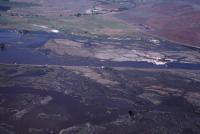
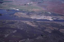
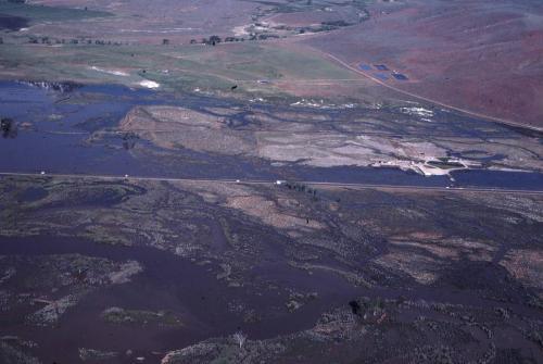
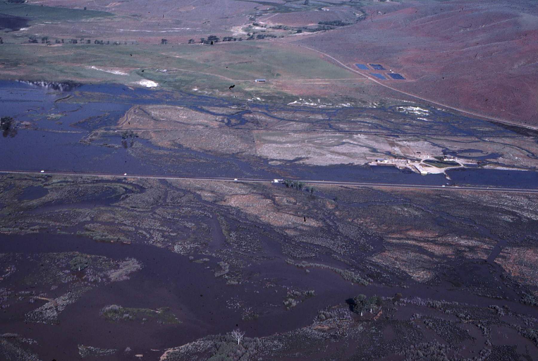
Carson Valley Flood Aerial
Date of photo: 1983
Photographer: Unknown
Source: Scanned Slide

Description
In 1983 a quickly melting snowpack led to severe flooding in the Carson Valley. This aerial photo shows the flood waters in the Carson River and flooding Hwy 395.
Actions
⇓ Download This Photo
⇓ Embed This Photo
Other Data
Date Uploaded: October 22, 2023
Permanent Link: http://wnhpc.com/details/photo1556
Source: Scanned Slide
Post A Comment