
← Previous Photo | Next Photo → |
Washoe Valley Slide Aerial
Date of photo: 1983
Photographer: Unknown
Source: Scanned Slide

Description
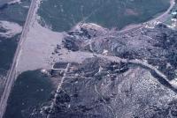
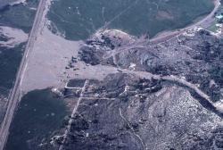
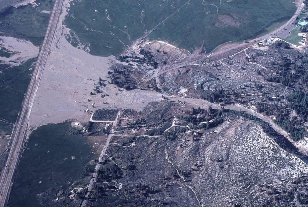
In 1983 a landslide on Slide Mountain crashed into a high country lake, which resulted in a mudslide covering part of the Washoe Valley. This aerial photo shows the path of the mudslide, coming out of the hills, across old 395, and towards the 395 freeway.
Actions
⇓ Download This Photo
⇓ Embed This Photo
Other Data
Date Uploaded: October 22, 2023
Permanent Link: http://wnhpc.com/details/photo1555
Source: Scanned Slide
Post A Comment