Available Sizes: 735x1024 | 1470x2048 | 2148x2991
Download: JPG (1258 KB)
Date Uploaded: May 22, 2024
Permanent Link: http://wnhpc.com/details/xp492yz1752
Source: Stanford Libraries
Source URL: https://exhibits.stanford.edu/mining/catalog/xp492yz1752
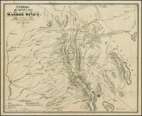
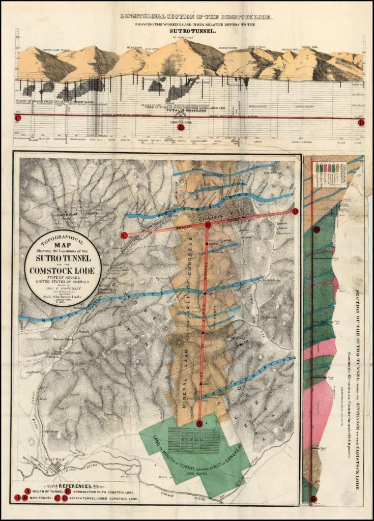
Source Caption: Rare early Sutro Tunnel map, by Charles Hoffmann, who later assisted Whitney on early maps of Yosemite. Adolph Sutro was an influential businessman in California and Nevada. He arrived in San Francisco in 1850. In 1859, he relocated to to Nevada and established a mill, which he called the Metallurgical Works, in East Dayton, Nevada. His most famous project was the Sutro Tunnel, which ventilated the mines of the Comstock Lode and allowed Miners to safely bring out ores. This early map shows Dayton, American City and the Mineral Land granted by act of Congress to Sutro to establish the Tunnel, along with the Monte Christo Lode, Great Lowery Lode, and Comstock Lode. Extends to the Carson River in the South and shows Silver City and Gold Hill, and of course Virginia City. A rare early mining map.
Download Photo: JPG (1258 KB)
← Previous Photo

Next Photo →