Carson Valley Aerial

Tags: aerial , carsonvalley

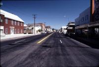
Date of photo: January 1984

Photographer: Unknown

Source : Scanned Slide

Available Sizes: 1024x693 | 1800x1219

Download: JPG (499 KB)

Description

This aerial view of the Carson Valley was taken in January of 1984. It looks south towards Genoa Lane (the farm buildings in the center), and the mountains beyond. In the foreground the waters of a January freshet can be seen meandering through the fields of the northwest valley, on their way back to the main river channel. Genoa is just out of the frame to the right.

Other Data

Date Uploaded: March 13, 2008

Permanent Link: http://wnhpc.com/details/slide0009

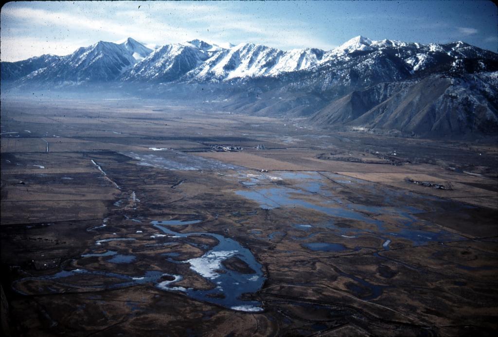
Source: Scanned Slide

Download Photo: JPG (499 KB)

← Previous Photo

Nevada State Legislature

Next Photo →

Downtown Gardnerville