Date of photo:
Early 1900s
Photographer:
Unknown
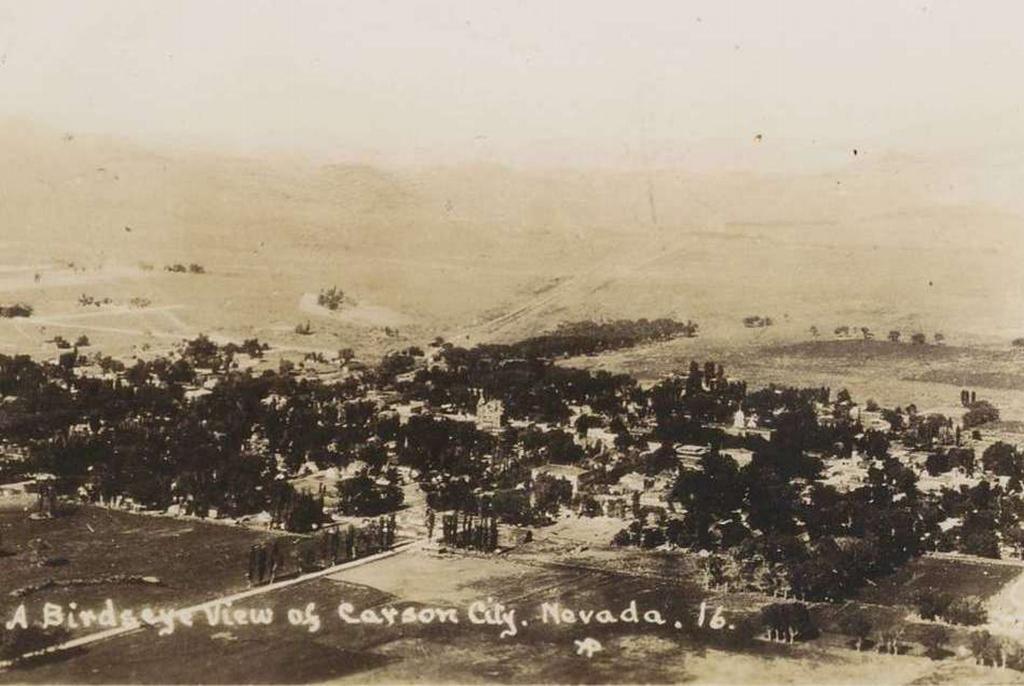
This is an early aerial photo of Carson City. The Post Office can be seen about at the center of the picture, and the Capitol Dome to the right of that. Between them, and a little bit below, the brick Central School can be seen, which was built in 1906. Most of the rest of town is hidden within the trees. Carson is very small here, ending at about Roop Street to the east and Mountain to the west. The line of the V&T Railroad can be seen stretching off to the mountains, on its way to Virginia City. Hwy 50 to Dayton paralleled the railroad tracks.
← Previous Photo
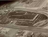
Carson Mall Aerial
Next Photo →
Hotel Page