Available Sizes: 1024x745 | 2048x1490 | 4823x3511
Download: JPG (1583 KB)
Date Uploaded: May 22, 2024
Permanent Link: http://wnhpc.com/details/oactf9s201371
Source: Calisphere
Source URL: https://calisphere.org/item/ark:/13030/tf9s201371/
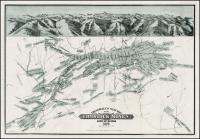
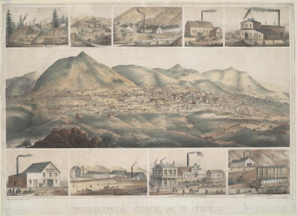
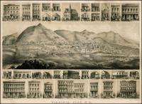
Source Caption: City situated at base of mountain range. Marginal views include numerous silver mining operations (Ophir, Woodworth, Gould & Curry, Potosi, Bullion, Mexican, Chollar, and Savage).
Printed title (LC). Printed (LL): Drawn from nature by Grafton T. Brown; (LC): Entered... 1864 by Grafton T. Brown... California; (LR): C.C. Kuchel, lith., 543 Clay St[reet], San Francisco, Cal[ifornia]. Each item captioned.
Download Photo: JPG (1583 KB)
← Previous Photo
Next Photo →