South Reno Aerial

Tags: aerial , meadowoodmall , reno

Date of photo: Early 1980s

Photographer: Unknown

Source : Facebook: Chuck Ross

Available Sizes: 1024x731 | 2048x1463

Download: JPG (371 KB)

Description

And aerial view of South Reno in the early 1980s. Meadowood Mall is prominently seen near the middle. Virginia Street runs up the left side of the photo to downtown. The 395 freeway snakes through the center of the photo. It is unfinished and is still being constructed near Virginia Street. There are crop marks drawn on the photo.

Other Data

Date Uploaded: May 9, 2023

Permanent Link: http://wnhpc.com/details/fb10231136437653715

Contributor: Chuck Ross on Facebook

Source: Facebook: Chuck Ross

Source URL: https://www.facebook.com/photo/?fbid=10231136437653715&set=gm.6130825110316237&idorvanity=471050472960424

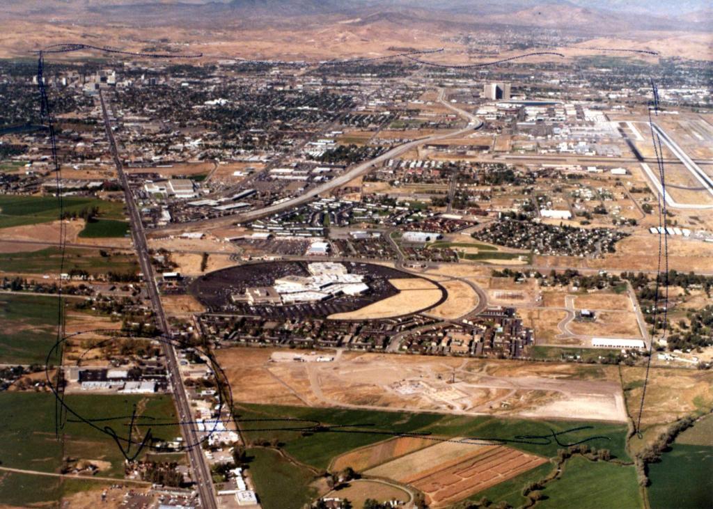
Source Caption: South Reno from the air, early 80s. Unfinished freeway and Meadowood

Download Photo: JPG (371 KB)

← Previous Photo

Sundance Motel

Next Photo →

Gold Hill School