Date Uploaded: February 13, 2022
Permanent Link: http://wnhpc.com/details/fb10158888992621715
Contributor: Sparks Museum & Cultural Center on Facebook
Source: Facebook: Sparks Museum & Cultural Center
Source URL: https://www.facebook.com/SparksMuseum/posts/10158888993581715
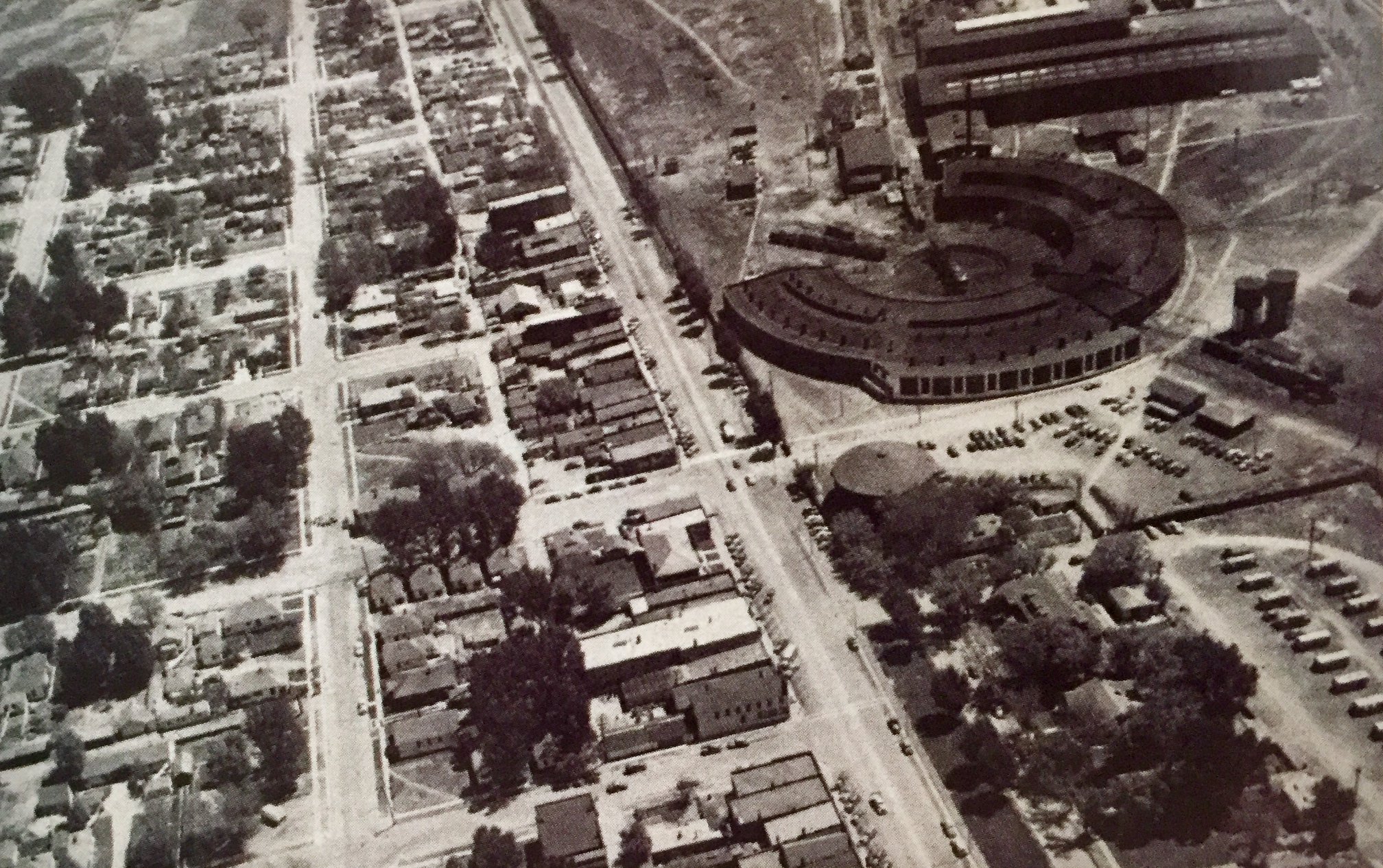
Source Caption: Downtown Sparks and the entrance to the Sparks rail yards are seen in this aerial photograph. The location of the roundhouse featured in this photograph is roughly where the interchange of Pyramid Highway and Interstate 80 is today (Photo courtesy of Nevada Magazine)
Download Photo: JPG (691 KB)
← Previous Photo
Next Photo →