← Previous Photo
Idlewild Park
Next Photo →
Reno Aerial

Geiger Grade

Date of photo: 1930s
Photographer: Unknown

Source: Facebook: Ken Clark

Tags: geigergrade,

Available Sizes: 800x484 | 826x500

Description

In the 1930s Geiger Grade from Reno to Virginia City was rerouted, graded and paved to make it friendly for automobiles. This photo shows the bottom of the hill where the road heads across the valley towards Reno.

Actions

⇓ Download This Photo

To download this photo, choose a size below, then right-click and select "Save As".

200x121 | 250x151 | 500x302 | 800x484 | 826x500

⇓ Embed This Photo

To embed this photo in a blog or web page, choose a size below, then copy and paste the HTML or wiki code from the box.

200x121 | 250x151 | 500x302 | 800x484

HTML code

Wiki markup

Other Data

Date Uploaded: November 25, 2020

Permanent Link: http://wnhpc.com/details/fb4615319675209331

Contributor: Ken Clark on Facebook

Source: Facebook: Ken Clark

Source URL: https://www.facebook.com/photo/?fbid=4615319675209331&set=a.104791189595558

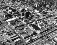
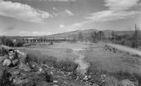
Source Caption: Reno 1930 Geiger Grade. Hardly recognizable today


Post A Comment