Gold Hill

Tags: crownpointtrestle , goldhill , maynardhouse , vtrailroad

Date of photo: 1921

Photographer: Unknown

Source : University of Michigan Library

Available Sizes: 1024x298 | 2048x596 | 2938x856

Download: JPG (328 KB)

Lincoln Highway Digital Image Collection

Description

A panorama looking south over Gold Hill in the 1920s. On the left is the Maynard House. In the center is the tracks of the V&T Railroad, crossing the Crown Point Trestle over the Crown Point Ravine. The few remaining buildings of Gold Hill cling to the sides of the canyon.

Other Data

Date Uploaded: July 2, 2024

Permanent Link: http://wnhpc.com/details/umich0770

Source: University of Michigan Library

Source URL: https://quod.lib.umich.edu/l/linchigh/x-lhc0770/LHC0770

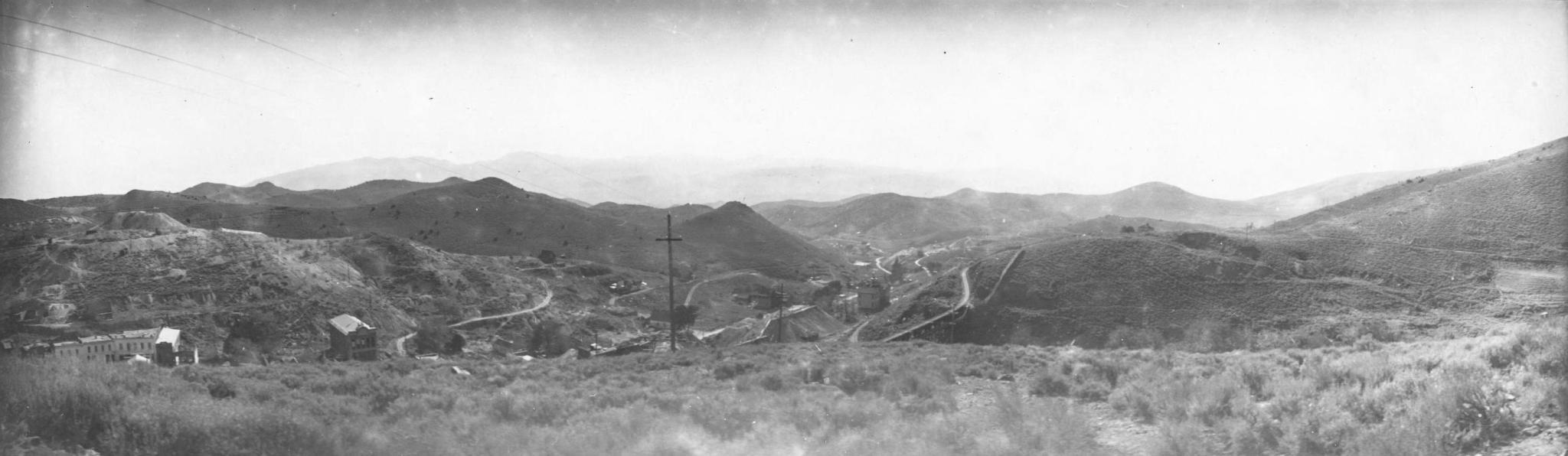
Source Caption: Gold Hill Gulch below Virginia City, Nevada

Download Photo: JPG (328 KB)

Location

← Previous Photo

Gold Hill

Next Photo →

V&T #11 in Arizona