Date of photo:
1990s
Photographer:
Unknown
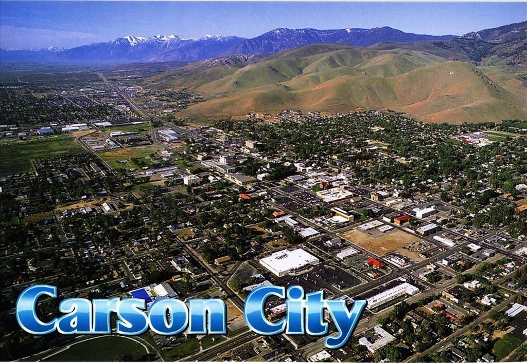
This postcard looks down on Carson City from great height during the 1990s. The view is to the southwest, and the town can be seen butting right up to the bottom of C Hill.
Since this photo is so recent, not much has changed since it was taken. But even at this altitude, there are a few notable things that can bracket the date of the photo. For one, the old V&T Enginehouse is not there. The large dirt scar just below and to the right of center marks the site where the "Old Stone Fort" sat for nearly 120 years, until its demolition in 1991.
A few other details can be seen that place the photo squarely in the 90s. The Penguin Drive-In, at the corner of Carson and Sophia, is still standing. That old-time burger stand was torn down around the turn of the millenium. A few blocks away, Caroline Street still runs next to the Nevada State Museum. That stretch of road was abandoned in 1999 to make way for a public plaza north of the museum. And way down at the south end of town, the Target (opened 2000) and Super Wal*Mart (opened 2002) are nowhere to be found.
The astute among you can find many other changes in the ten years or so since this photo was taken, I'm sure.
← Previous Photo
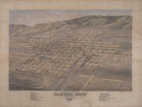
Bird's Eye View of Carson City
Next Photo →
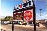
Camp N Town