Available Sizes: 1024x707 | 2048x1414 | 3784x2613
Download: JPG (832 KB)
Date Uploaded: May 19, 2024
Permanent Link: http://wnhpc.com/details/photo17941
Source: Calisphere
Source URL: https://calisphere.org/item/ark:/13030/tf6g5009tc/
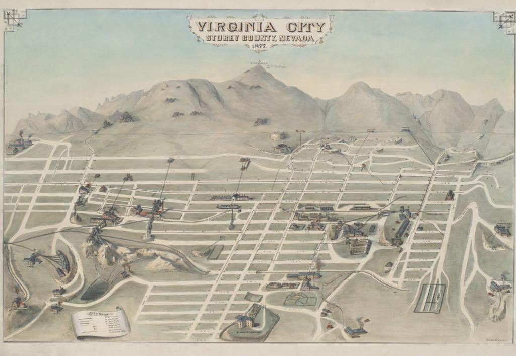
Source Caption: Bird's-eye view of city with map of water system lines, buildings, and sites; Mount Davidson in distance.
Download Photo: JPG (832 KB)
← Previous Photo
Next Photo →