Carson City Aerial

Tags: aerial , carsoncity , ccfreeway

Date of photo: May 6, 2003

Photographer: Unknown

Available Sizes: 1024x768 | 2048x1536

Download: JPG (793 KB)

Description

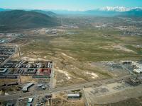
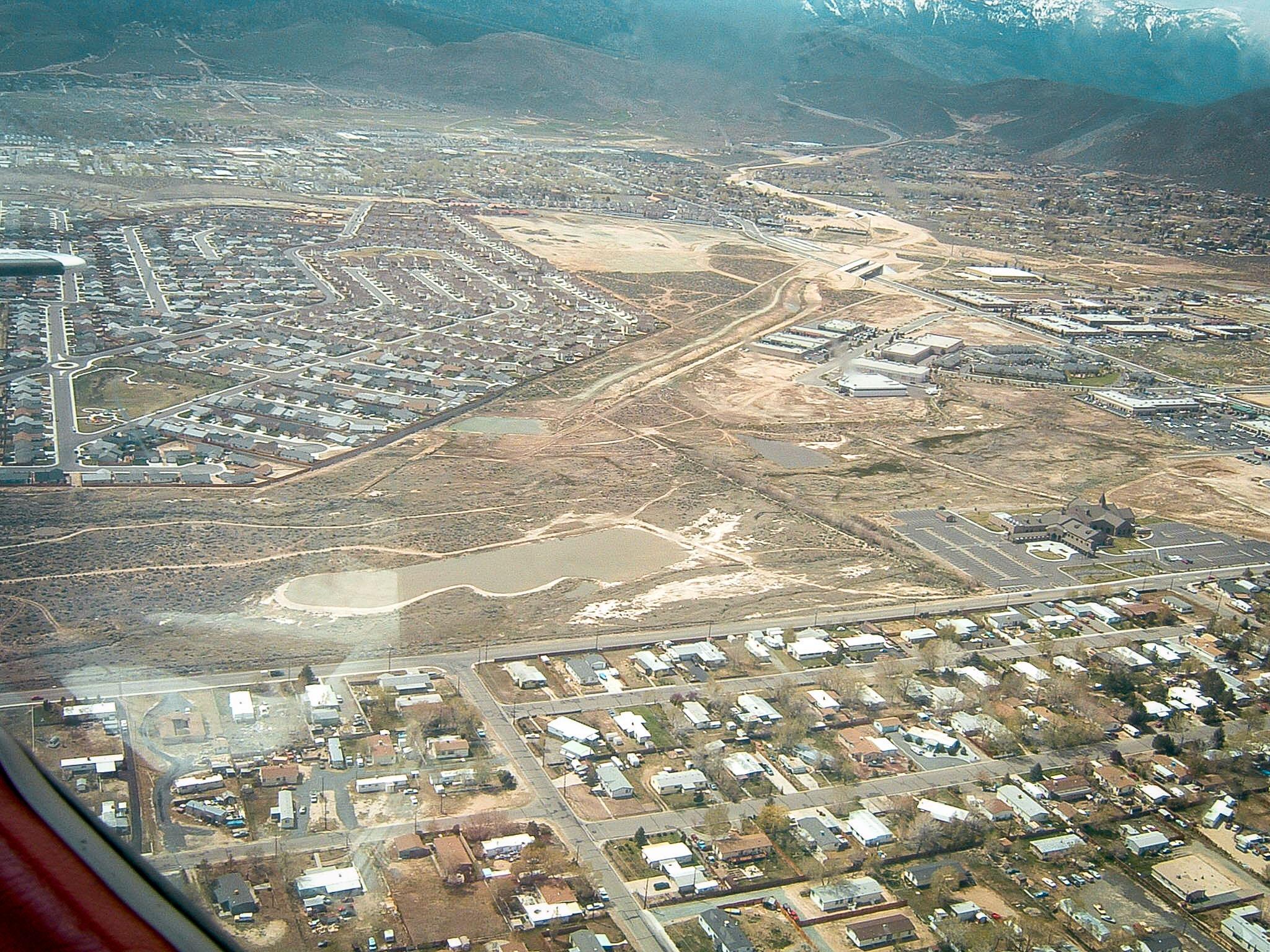
An aerial view of Carson City, taken from low altitude in a plane. This view looks over the future route of the Carson City freeway. Lompa Lane travels left to right at the bottom of the photo, and in the distance the College Parkway overpass is under construction.

Other Data

Date Uploaded: April 7, 2020

Permanent Link: http://wnhpc.com/details/photo0677

Download Photo: JPG (793 KB)

← Previous Photo

Carson City Aerial

Next Photo →

Golden Dragon