Carson City Aerial

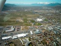
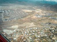
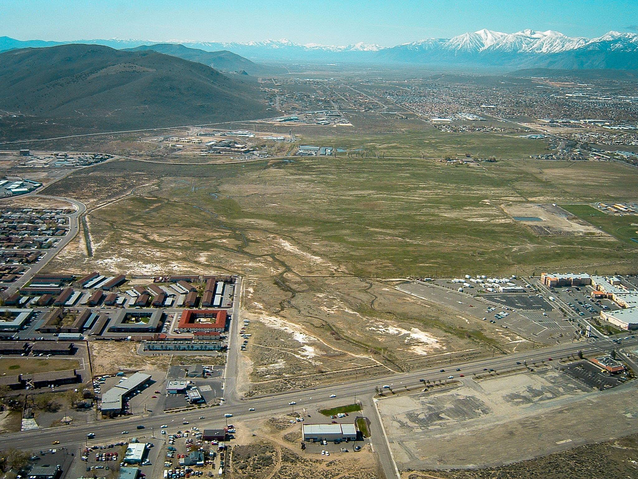
Tags: aerial , carsoncity , ccfreeway

Date of photo: May 5, 2003

Photographer: Unknown

Available Sizes: 1024x768 | 2048x1536

Download: JPG (733 KB)

Description

An aerial view of Carson City, taken from low altitude in a plane. This view looks over Lompa Ranch and the future route of the Carson City freeway. Hwy 50 is at the bottom of the photo, and that is where the freeway overpass would soon be built.

Other Data

Date Uploaded: April 7, 2020

Permanent Link: http://wnhpc.com/details/photo0676

Download Photo: JPG (733 KB)

← Previous Photo

Carson City Aerial

Next Photo →

Carson City Aerial