Carson City Aerial

Tags: aerial , carsoncity , ccfreeway

Date of photo: May 5, 2003

Photographer: Unknown

Available Sizes: 1024x768 | 2048x1536

Download: JPG (781 KB)

Description

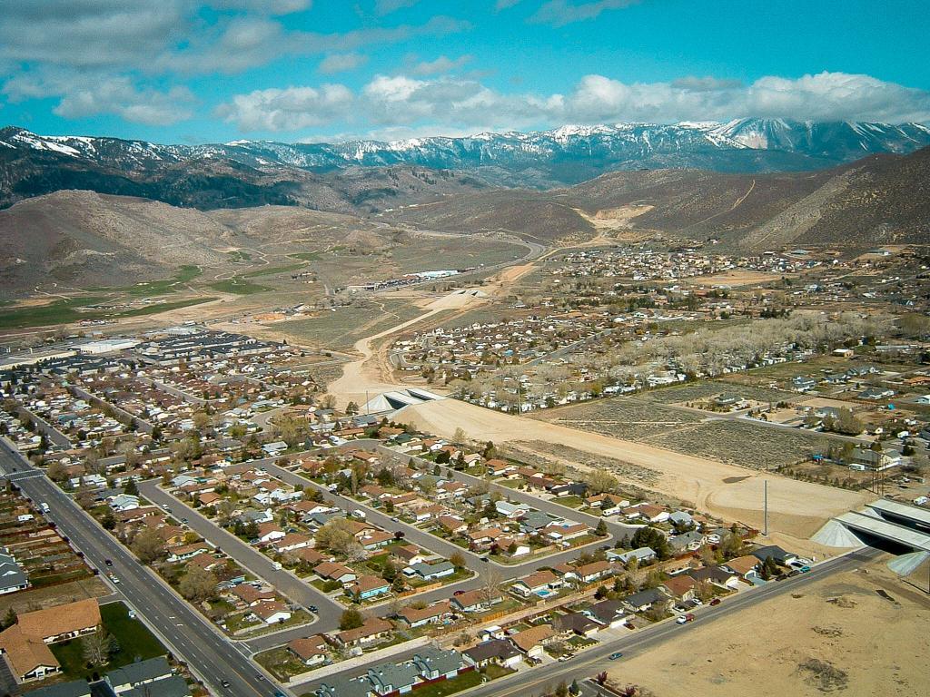
An aerial view of Carson City, taken from low altitude in a plane. This view looks over the future route of the Carson City freeway. Overpasses at Emerson and Northgate were finished, but the roadway still needed to be finished. The freeway snakes up towards the hill to Washoe Lake.

Other Data

Date Uploaded: April 7, 2020

Permanent Link: http://wnhpc.com/details/photo0674

Download Photo: JPG (781 KB)

← Previous Photo

Ormsby House Construction

Next Photo →

Carson City Aerial