← Previous Photo
Carson City Aerial 1994
Next Photo →
Carson Valley Aerial 1974

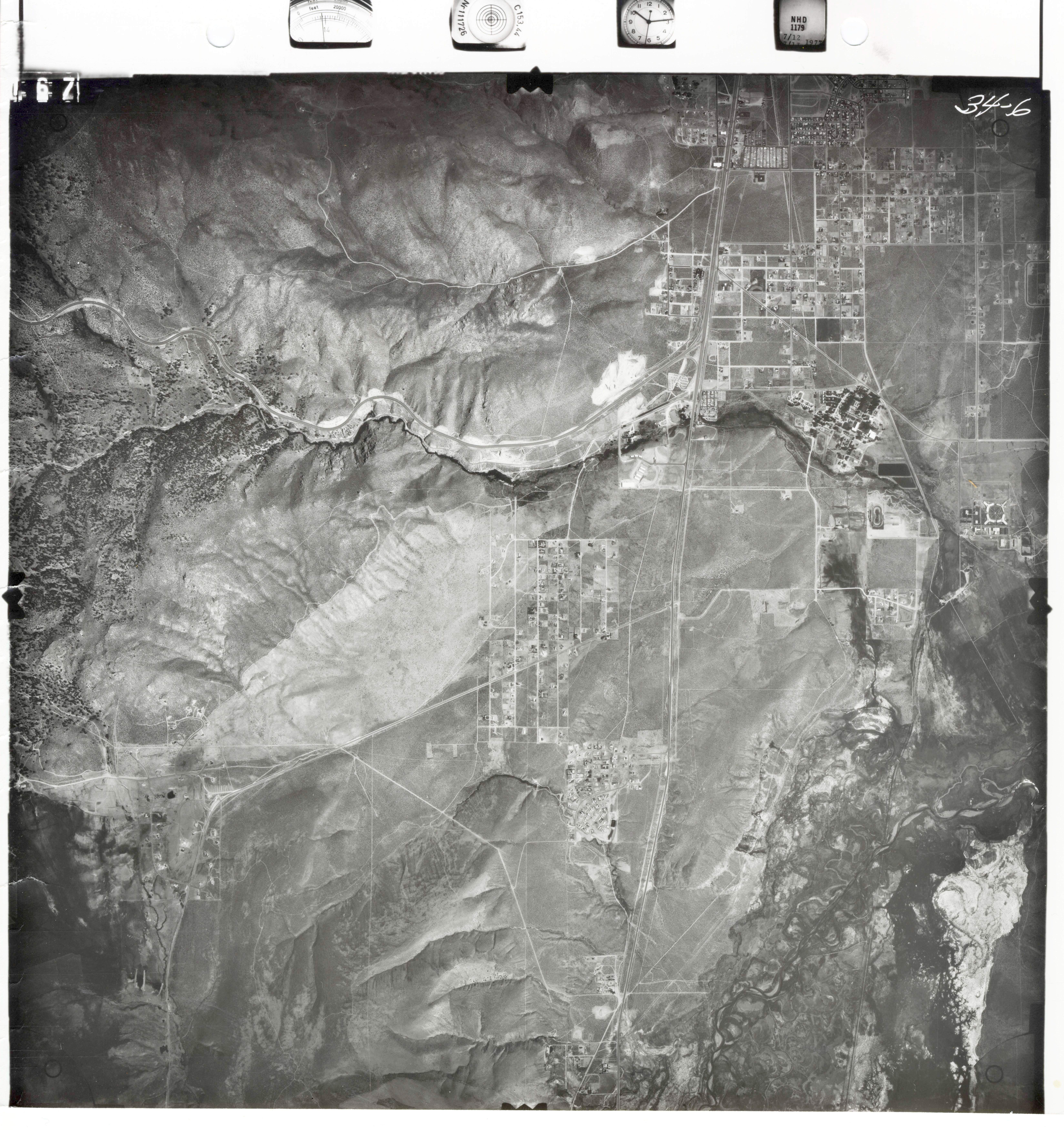
Carson City Aerial 1977

Date of photo: 1977
Photographer: Unknown

Source: Nevada Bureau of Mines and Geology, UNR

Tags: aerial, carsoncity, jacksvalley, stewart,

Description

An aerial photo of south Carson City and north Douglas County from 1977, centered on Hwy 395. The Jacks Valley is at the lower left, and Hwy 50 branches off to the left.

Actions

⇓ Download This Photo

To download this photo, choose a size below, then right-click and select "Save As".

188x200 | 235x250 | 471x500 | 753x800 | 964x1024 | 1929x2048 | 6594x7000

⇓ Embed This Photo

To embed this photo in a blog or web page, choose a size below, then copy and paste the HTML or wiki code from the box.

188x200 | 235x250 | 471x500 | 753x800

HTML code

Wiki markup

Other Data

Date Uploaded: March 15, 2018

Permanent Link: http://wnhpc.com/details/photo0440

Source: Nevada Bureau of Mines and Geology, UNR

Source URL: http://www.nbmg.unr.edu/Collections/HistoricalAirPhotos/HistoricalAirPhotos.html


Post A Comment