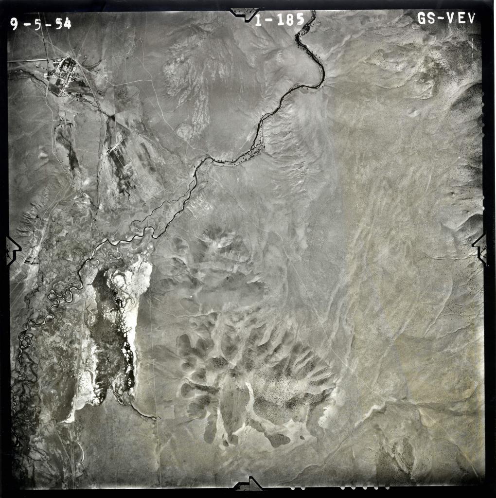
Date of photo: September 5, 1954
Photographer: Unknown
Available Sizes: 1020x1024 | 2040x2048 | 6975x7000
Download: JPG (5449 KB)

Historical Aerial Photography, Nevada Bureau of Mines and Geology, UNR
Date Uploaded: March 15, 2018
Permanent Link: http://wnhpc.com/details/photo0437
Source: Nevada Bureau of Mines and Geology, UNR
Source URL: http://www.nbmg.unr.edu/Collections/HistoricalAirPhotos/HistoricalAirPhotos.html
Download Photo: JPG (5449 KB)