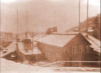
Date of photo: 1875
Photographer: Parkinson, T. D.
Available Sizes: 1024x815 | 2048x1630 | 7140x5685
Download: JPG (4811 KB)
Date Uploaded: January 16, 2024
Permanent Link: http://wnhpc.com/details/map0022
Source: Norman B. Leventhal Map Center Collection
Source URL: https://collections.leventhalmap.org/search/commonwealth:0r96fp646
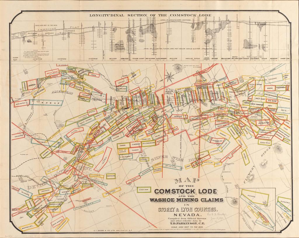
Source Caption: Map of the Comstock Lode and the Washoe mining claims in Storey & Lyon counties, Nevada
Parkinson's map of the Comstock Lode & Washoe mining claims
America Transformed: In 1859, major deposits of silver known as the Comstock Lode were discovered on the Nevada side of the Sierra Nevada Mountains. Mining spurred the rapid growth of Virginia City, which reached a population of 15,000 by 1863, prompting Nevada's statehood in 1864. This 1875 map delineates the boundaries of the many mineral claims while the cross sections indicate deep shafts to the silver deposits. Large debris piles at each mine's entrance left a distinctive scar on the landscape.
Download Photo: JPG (4811 KB)
← Previous Photo

Next Photo →