Date of photo: 1948
Photographer: Unknown
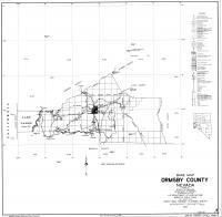
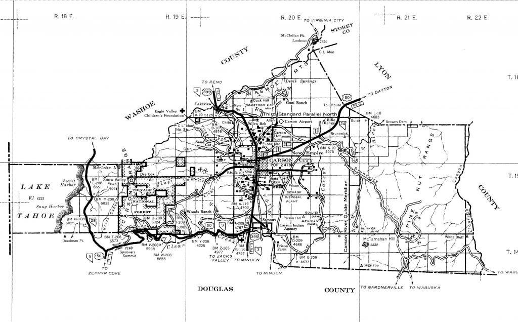
Source : Historic Highway Maps: W.M Keck Earth Sciences & Mining Research, UNR
Available Sizes: 1024x636 | 2048x1273 | 3902x2426
Download: JPG (810 KB)
Date Uploaded: March 6, 2018
Permanent Link: http://wnhpc.com/details/map0009
Source: Historic Highway Maps: W.M Keck Earth Sciences & Mining Research, UNR
Source URL: http://keck.library.unr.edu/datasets/historichighway.aspx
Download Photo: JPG (810 KB)
← Previous Photo
Next Photo →