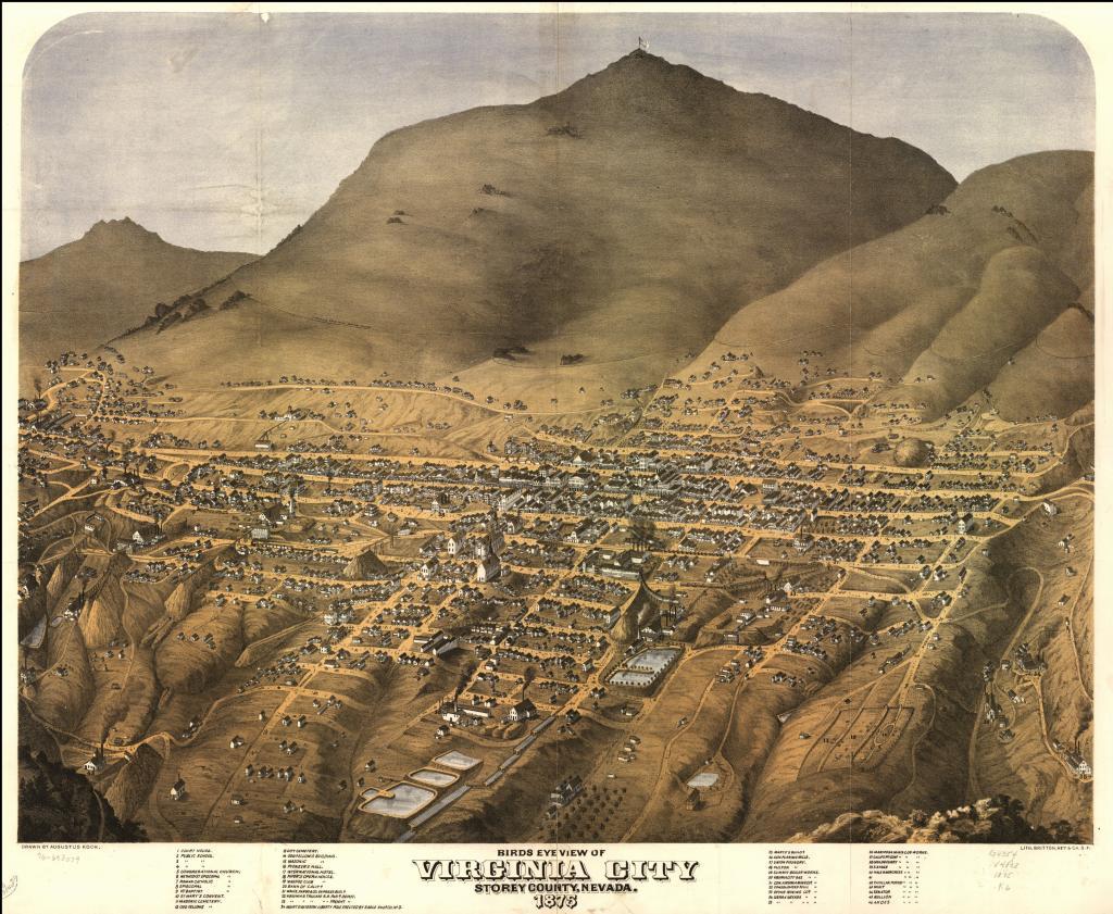
This aerial view of Virginia City was drawn by Augustus Koch in 1875, and it's considered to be pretty accurate. Koch was a highly-skilled, Army-trained cartographer, and he visited over 100 communities throughout the United States to produce these "Bird's Eye Views".
I think this map was drawn before the "Great Fire" in October of that year, because it shows a few buildings, like Piper's Opera House and the International Hotel, in their smaller incarnations. They were rebuilt bigger after the fire. Plus, the town wasn't fully rebuilt after the fire until 1876.
← Previous Photo
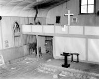
Virginia City Presbyterian Church
Next Photo →
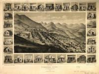
Virginia City, 1861