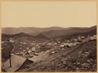
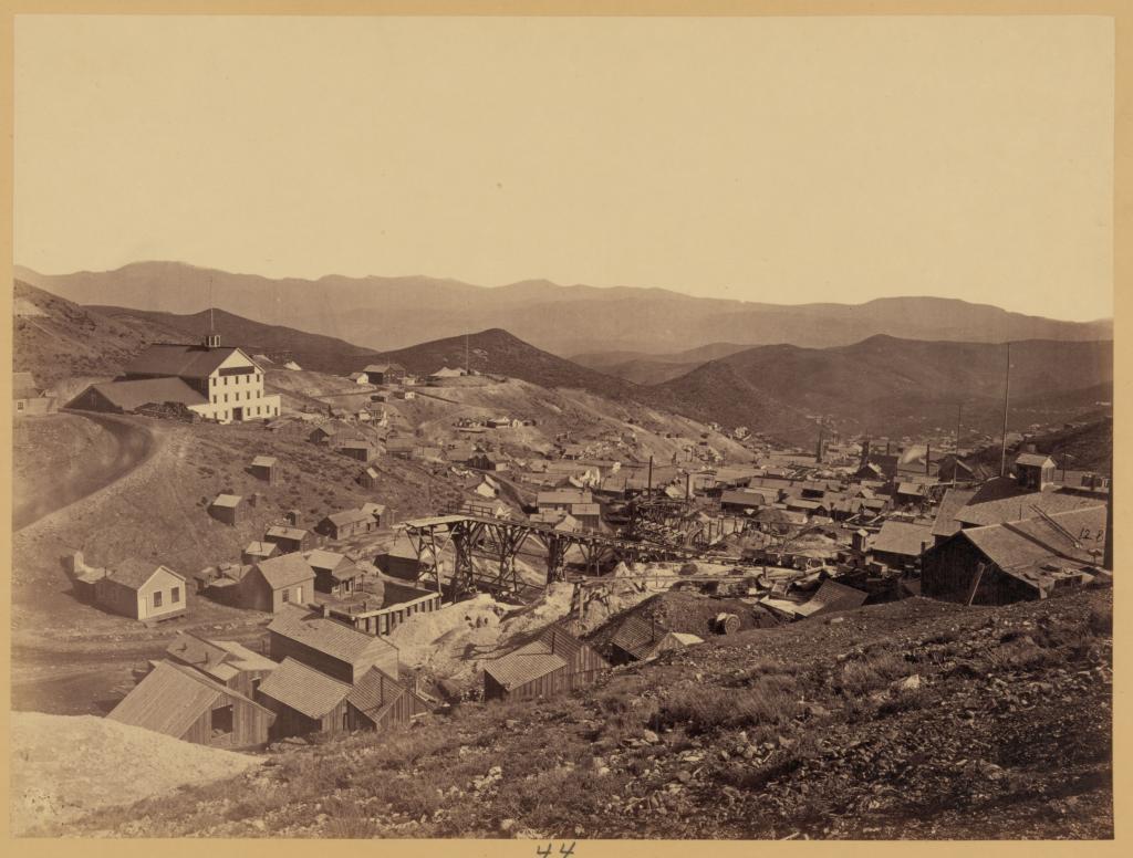
Gold Hill, 1867

Tags: goldhill , imperialempireshaft

Date of photo: 1867

Photographer: Timothy O'Sullivan

Source : U.S. Geological Survey

Available Sizes: 1024x744 | 2048x1489 | 7525x5472

Download: JPG (8380 KB)

United States Geological Exploration of the Fortieth Parallel (King Survey)

Description

Looking north over Gold Hill in 1867. To the left is the Divide between Gold Hill and Virginia City, with the curve of Greiners Bend coming down the hill. On top of the hill is the Imperial-Empire Shaft, which serviced the Imperial and Empire mines.

Other Data

Date Uploaded: April 26, 2024

Permanent Link: http://wnhpc.com/details/loc11913u

Source: U.S. Geological Survey

Source URL: https://www.sciencebase.gov/catalog/item/51dd6d30e4b0f72b4471a089

Source Caption: Photograph showing a mill town.

Download Photo: JPG (8380 KB)

Location

← Previous Photo

Steamboat Springs

Next Photo →

Gold Hill, 1867