← Previous Photo
Carson City Aerial Photo
Next Photo →
Carson City Aerial Photo

Carson City Aerial Photo

Date of photo: c 1950
Photographer: Unknown

Source: Flickr

Tags: aerial, carsoncity,

Description

An aerial look at Carson City, from the southeast. Carson City only takes up a little bit of space, surrounded by vast ranchland in the Eagle Valley.

Actions

⇓ Download This Photo

To download this photo, choose a size below, then right-click and select "Save As".

200x156 | 250x196 | 500x392 | 800x627 | 1024x803 | 2048x1607 | 3500x2747

⇓ Embed This Photo

To embed this photo in a blog or web page, choose a size below, then copy and paste the HTML or wiki code from the box.

200x156 | 250x196 | 500x392 | 800x627

HTML code

Wiki markup

Other Data

Date Uploaded: June 8, 2009

Permanent Link: http://wnhpc.com/details/flickr1339396292

Contributor: BBkld (via Flickr)

Source: Flickr

Source URL: http://www.flickr.com/photos/bbkld/1339396292

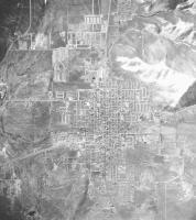
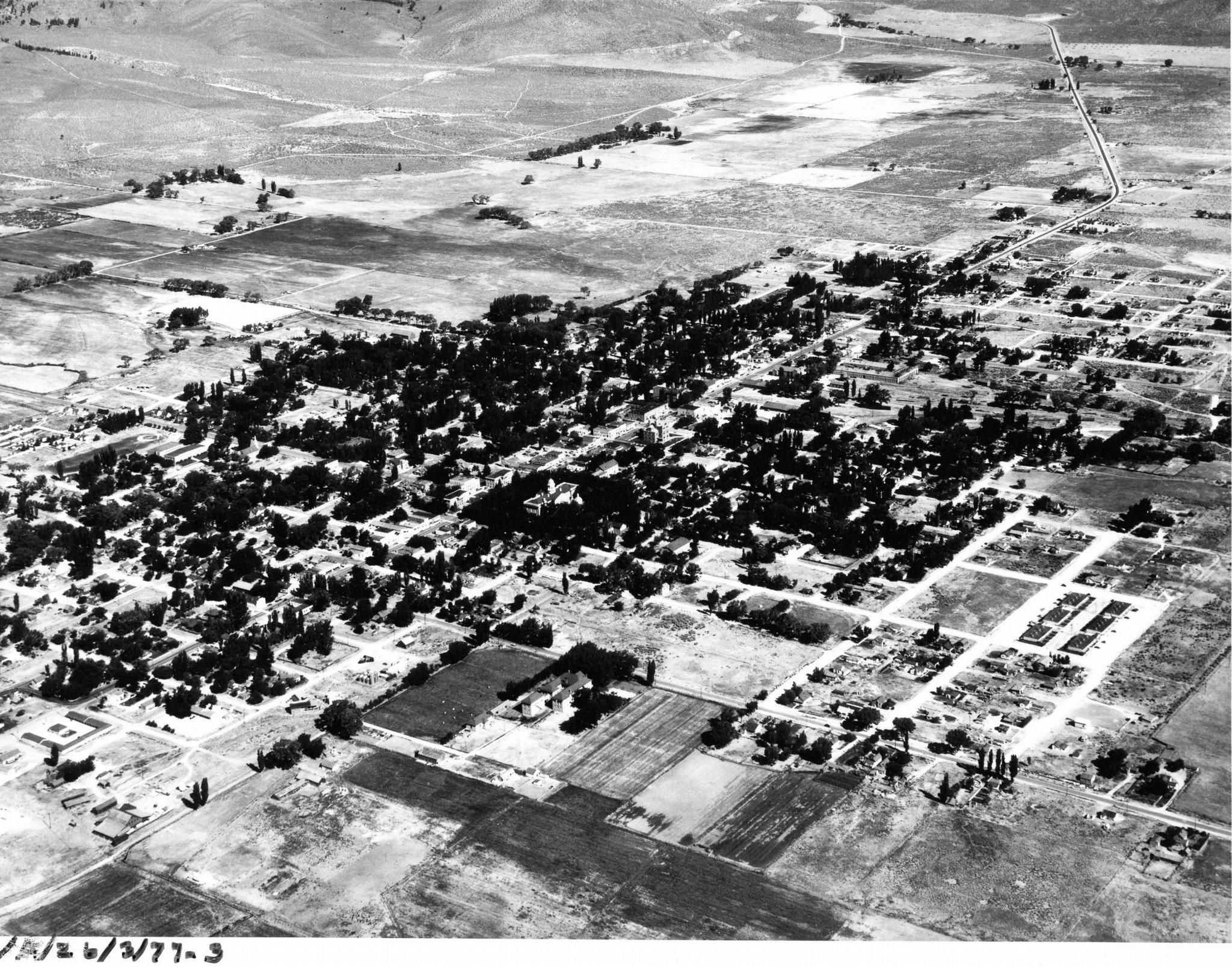
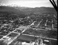
Source Caption: Probably 1950s. Photo credit is indecipherable. Possibly from the same John Nulty set that produced this picture: blog.bbkld.com/2007/06/23/old-nevada/


Post A Comment