← Previous Photo
1950s Carson City Aerial
Next Photo →
1950s Carson City Aerial

1940s Carson City Aerial

Date of photo: 1940s
Photographer: Unknown

Source: Flickr

Tags: aerial, carsoncity, downtowncc,

Available Sizes: 752x800 | 963x1024 | 1662x1767

Nevada State Library and Archives

Description

A look straight down at downtown Carson City.

Actions

⇓ Download This Photo

To download this photo, choose a size below, then right-click and select "Save As".

188x200 | 235x250 | 470x500 | 752x800 | 963x1024 | 1662x1767

⇓ Embed This Photo

To embed this photo in a blog or web page, choose a size below, then copy and paste the HTML or wiki code from the box.

188x200 | 235x250 | 470x500 | 752x800

HTML code

Wiki markup

Other Data

Date Uploaded: July 30, 2009

Permanent Link: http://wnhpc.com/details/flickr1338517583

Contributor: BBkld (via Flickr)

Source: Flickr

Source URL: http://www.flickr.com/photos/bbkld/1338517583

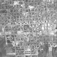
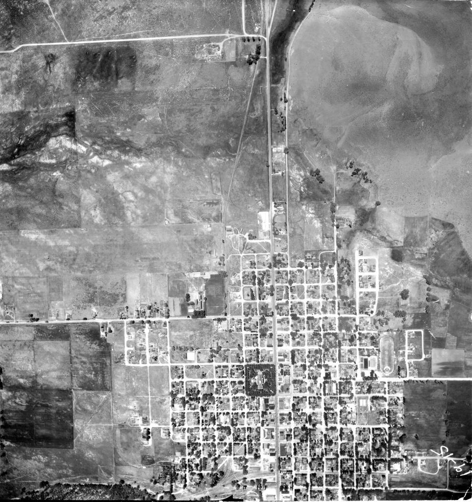
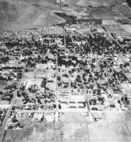
Source Caption: The south end of town. Fifth Street is going off to the left and today's Highway 395 is going straight up (south). South Curry Street is snaking around the base of C Hill.


Post A Comment