Date Uploaded: November 25, 2020
Permanent Link: http://wnhpc.com/details/fb4602752539799378
Contributor: Ken Clark on Facebook
Source: Facebook: Ken Clark
Source URL: https://www.facebook.com/photo/?fbid=4602752539799378&set=a.104791189595558
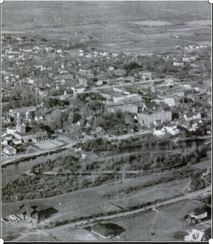
Source Caption: 1907 Reno Aerial - Wingfield Park looking northeast toward downtown Reno. Before Arlington bridge was built. St Thomas Church (middle left) was on Chestnut St. and the southside of the Truckee River was Belmont. Many don't realize Wingfield Park is an island.
Download Photo: JPG (112 KB)
← Previous Photo

Next Photo →