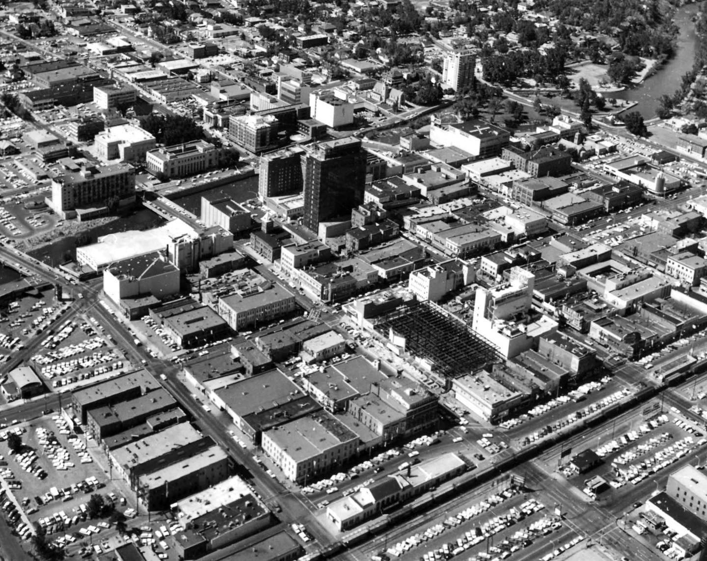
Reno Aerial

Tags: aerial , downtownreno , firstnationalbankofnevada , hotelmapes , majestictheater , reno , renocityhall

Date of photo: 1963

Photographer: Unknown

Source : Facebook: Reno's Mapes Hotel: The Queen of Virginia Street

Available Sizes: 1024x812 | 1440x1142

Download: JPG (287 KB)

Description

An aerial view of downtown Reno. The tower at the center is the First National Bank of Nevada tower, and behind it is the Hotel Mapes. To the left of those are the Majestic Theater and the tower of the old City Hall. One block to the north you can see a steel framework. This was the site of the former Hotel Golden, which burned down on April 3, 1962. In this photo the hotel was in the process of being rebuilt, but they ran out of money before completion. Harrah's purchased the unfinished property and completed its 24-story hotel tower.

Other Data

Date Uploaded: November 25, 2020

Permanent Link: http://wnhpc.com/details/fb1505247296326017

Contributor: Reno's Mapes Hotel: The Queen of Virginia Street on Facebook

Source: Facebook: Reno's Mapes Hotel: The Queen of Virginia Street

Source URL: https://www.facebook.com/mapeshotel/photos/a.682336691950419/1505247296326017/

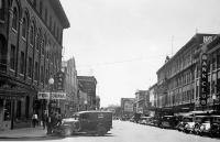
Source Caption: Reno 1963 you can see the "L" shape of the Mapes towering below the First Interstate Bank Building which is now the current Reno City Hall.

Download Photo: JPG (287 KB)

← Previous Photo

Geiger Grade

Next Photo →

Center Street, Reno