This photo looks down at Carson City from on high around 1951. The State Capitol is the most prominent part of the image, near the center. At that time the Capitol grounds only took up 4 blocks, and it was surrounded by houses and businesses. Most of the buildings east of Carson Street in this photo have since been demolished. The Heroes Memorial Building, Nevada Supreme Court, and Ormsby County Courthouse are seen across the street from the Capitol, and King Street stretches towards the mountains behind them.
← Previous Photo

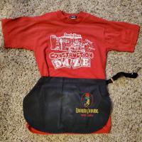
Ormsby House Outfit
Next Photo →

Briggs House