← Previous Photo
Virginia City Aerial
Next Photo →
Reno Aerial 1934

Reno Aerial 1936

Date of photo: October 23, 1936
Photographer: Unknown

Source: Facebook: Bill Eaton

Tags: aerial, downtownreno, reno,

Available Sizes: 800x624 | 1024x799 | 1753x1369

Description

An aerial view of Reno and the Truckee Meadows in 1936. Looking west toward Verdi and the Sierra Nevada. Hwy 395 runs left-right through the center of the picture.

Actions

⇓ Download This Photo

To download this photo, choose a size below, then right-click and select "Save As".

200x156 | 250x195 | 500x390 | 800x624 | 1024x799 | 1753x1369

⇓ Embed This Photo

To embed this photo in a blog or web page, choose a size below, then copy and paste the HTML or wiki code from the box.

200x156 | 250x195 | 500x390 | 800x624

HTML code

Wiki markup

Other Data

Date Uploaded: May 1, 2019

Permanent Link: http://wnhpc.com/details/fb10213594440523714

Contributor: Bill Eaton on Facebook

Source: Facebook: Bill Eaton

Source URL: https://www.facebook.com/photo.php?fbid=10213594440523714&set=pcb.1030391987168571&type=3&theater&ifg=1

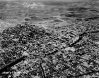
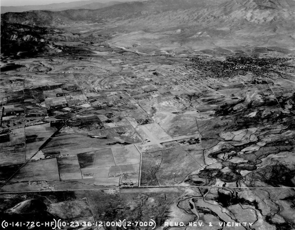
Source Caption: Looking northwest over the airport in the foreground with downtown at upper right, 10-23-36.


Post A Comment