← Previous Photo
Walley's Hot Springs
Next Photo →
Map of Lake Tahoe and Vicinity

Map of Lake Tahoe and Surrounding Country

Date of photo: 1874
Photographer: Unknown

Source: Facebook: Marley Reel

Tags: laketahoe, map,

Available Sizes: 648x800 | 830x1024 | 1647x2031

Description

A map of Lake Tahoe and Western Nevada dated 1874.

Actions

⇓ Download This Photo

To download this photo, choose a size below, then right-click and select "Save As".

162x200 | 202x250 | 405x500 | 648x800 | 830x1024 | 1647x2031

⇓ Embed This Photo

To embed this photo in a blog or web page, choose a size below, then copy and paste the HTML or wiki code from the box.

162x200 | 202x250 | 405x500 | 648x800

HTML code

Wiki markup

Other Data

Date Uploaded: May 7, 2017

Permanent Link: http://wnhpc.com/details/fb10208211501185837

Contributor: Marley Reel on Facebook

Source: Facebook: Marley Reel

Source URL: https://www.facebook.com/photo.php?fbid=10208211501185837&set=gm.447444325463343&type=3

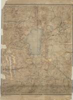
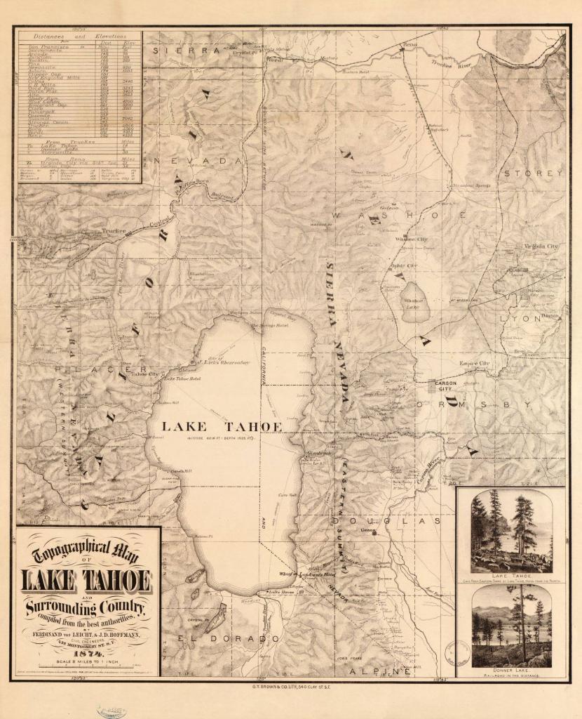
Source Caption: One of my favorites from the loc.gov website. Map of Tahoe circa 1876


Post A Comment