Date Uploaded: January 29, 2017
Permanent Link: http://wnhpc.com/details/fb10206339810485828
Contributor: Phillip L. Sublett‎ on Facebook
Source: Facebook: Phillip L. Sublett‎
Source URL: https://www.facebook.com/photo.php?fbid=10206339810485828&set=gm.410189189188857&type=3&theater
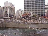
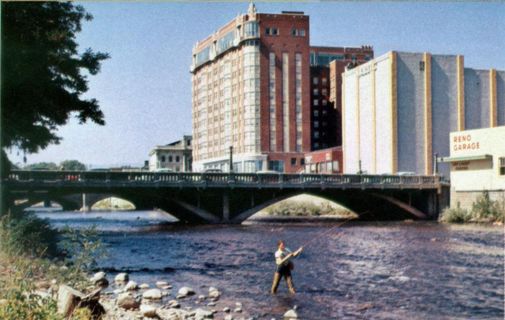
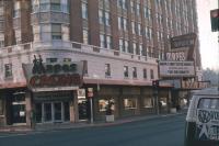
Source Caption: While the Mapes Hotel in Reno looks like a giant cube in most photos from Virginia Street, this photo from around 1952 shows the back of the Mapes as seen from the Truckee River, revealing its hollow, L-shape. [Photo by Walt Mulcahy, from the book "Reno: The Biggest Little City in the World"]
Download Photo: JPG (826 KB)
← Previous Photo
Next Photo →