Date Uploaded: March 2, 2025
Permanent Link: http://wnhpc.com/details/fb10163059652853265
Contributor: Dale Huntsman on Facebook
Source: Facebook: Dale Huntsman
Source URL: https://www.facebook.com/groups/345496490863/permalink/10163448932930864/
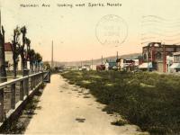
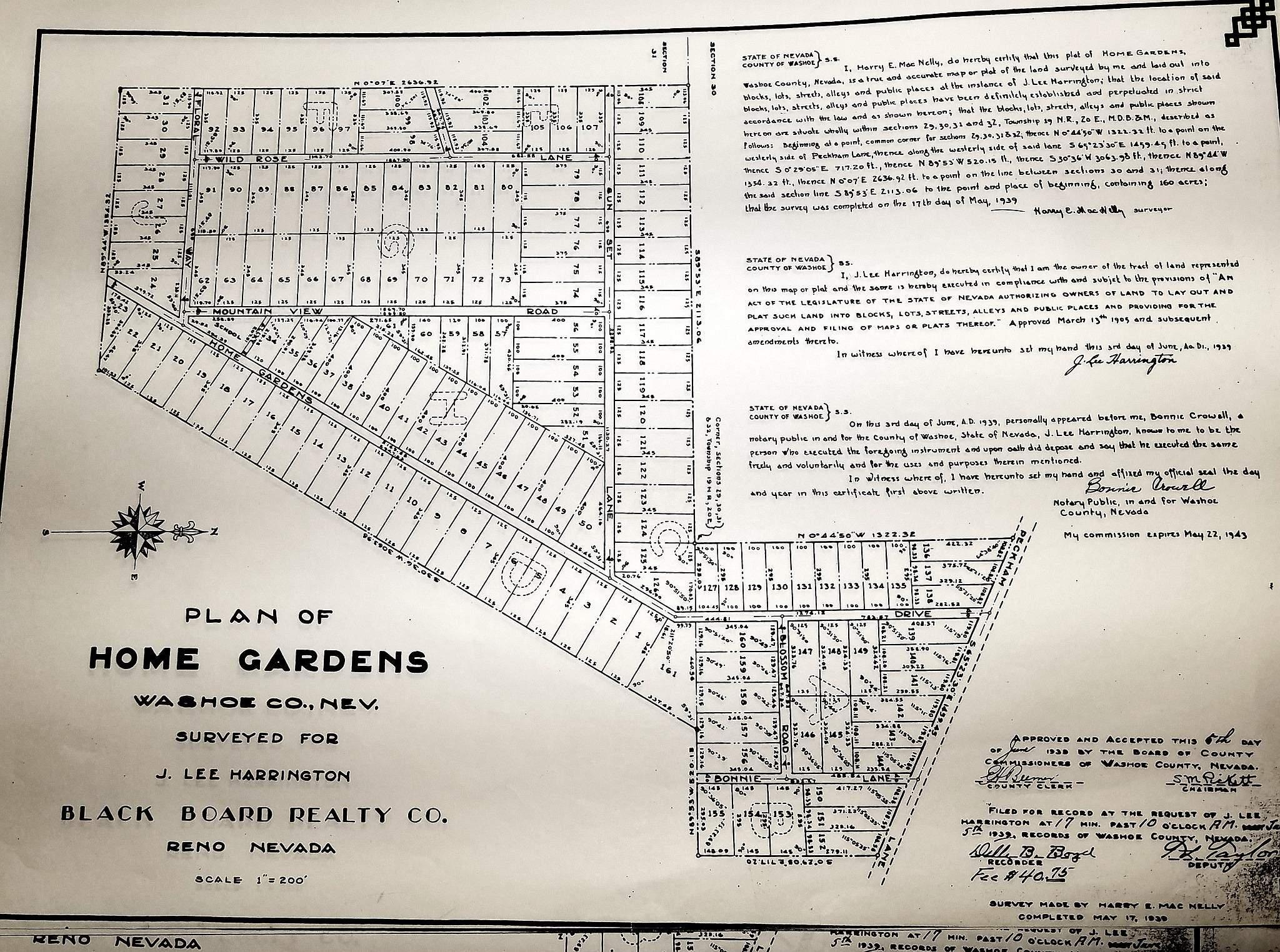
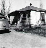
Source Caption: Plot Plan.
Download Photo: JPG (571 KB)
← Previous Photo
Next Photo →