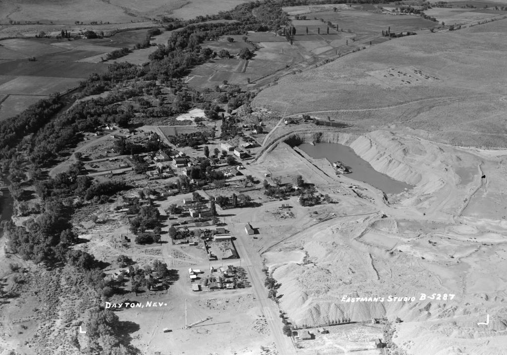
Dayton Aerial 1947

Tags: aerial , dayton , daytondredge

Date of photo: 1947

Photographer: Jervie Henry Eastman

Source : UC Davis, University Library, Special Collections

Available Sizes: 1024x718 | 2048x1437 | 3033x2129

Download: JPG (1040 KB)

Eastman's Originals Collection

Description

An aerial view of Dayton in 1947. In the large pond at right you can see the remains of the large dredging operation. The dredge was installed to find gold and silver ore that had washed down the canyon from Virginia City and Gold Hill. It destroyed historic sites and left a scar that is still there today.

Other Data

Date Uploaded: July 7, 2024

Permanent Link: http://wnhpc.com/details/b5287

Source: UC Davis, University Library, Special Collections

Source URL: https://calisphere.org/item/ark:/13030/tf8s20087p/

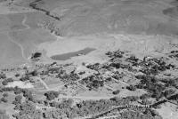
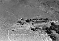
Source Caption: Dayton, Nev. Aerial view of town.

Download Photo: JPG (1040 KB)

Location

← Previous Photo

Sutro Aerial 1947

Next Photo →

Dayton Aerial