
← Previous Photo | Next Photo → |
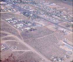
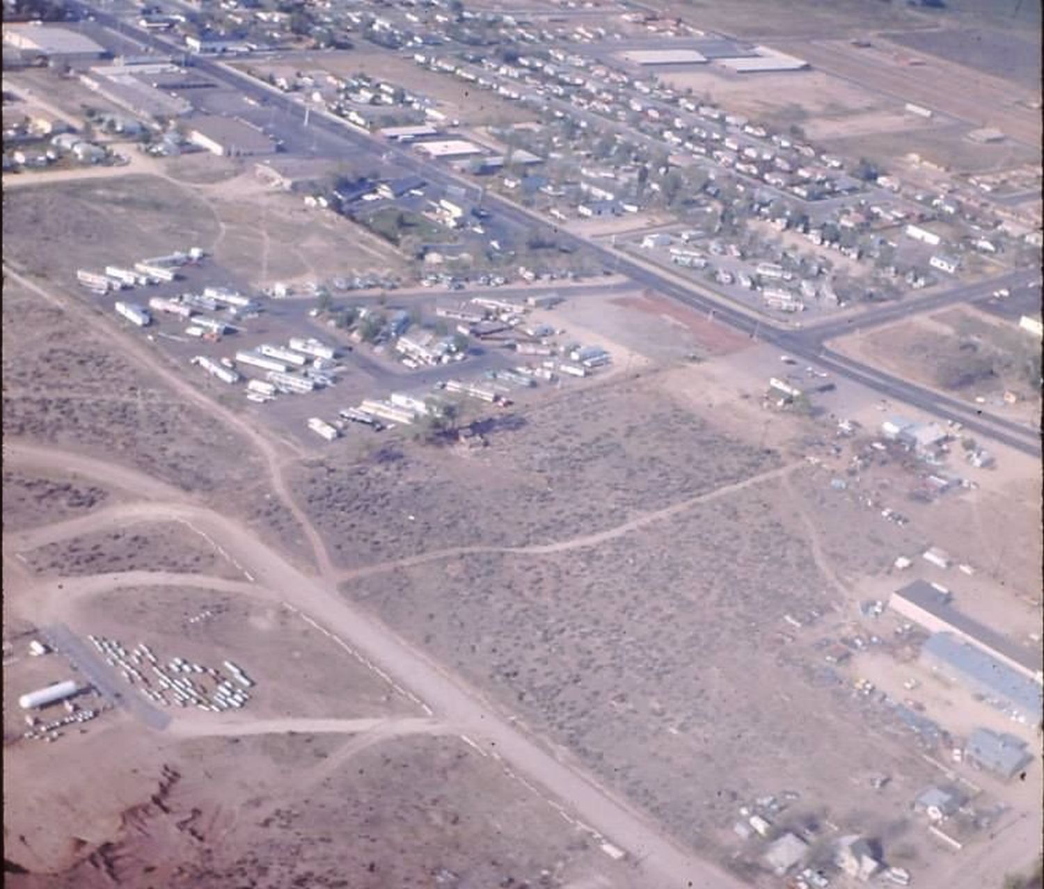
Carson City Aerial
Date of photo: 1965-66
Photographer: Unknown
Source: Facebook

Description
The intersection of Carson Street and Winnie Lane. The area in the foreground was all sagebrush back then, but now it holds the Crossroads Shopping Center. Winnie Lane does not yet extend east of Carson Street. In the upper center, above the trailer park, is the DeLuxe Motel
Actions
⇓ Download This Photo
⇓ Embed This Photo
Other Data
Date Uploaded: June 8, 2013
Permanent Link: http://wnhpc.com/details/photo0365
Contributor: Rick Lee on Facebook
Source: Facebook
Source URL: https://www.facebook.com/photo.php?fbid=515119878554967&set=oa.515650461821494
Post A Comment