
← Previous Photo | Next Photo → |
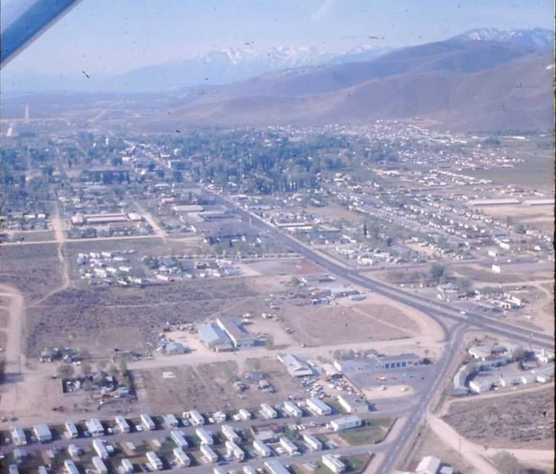
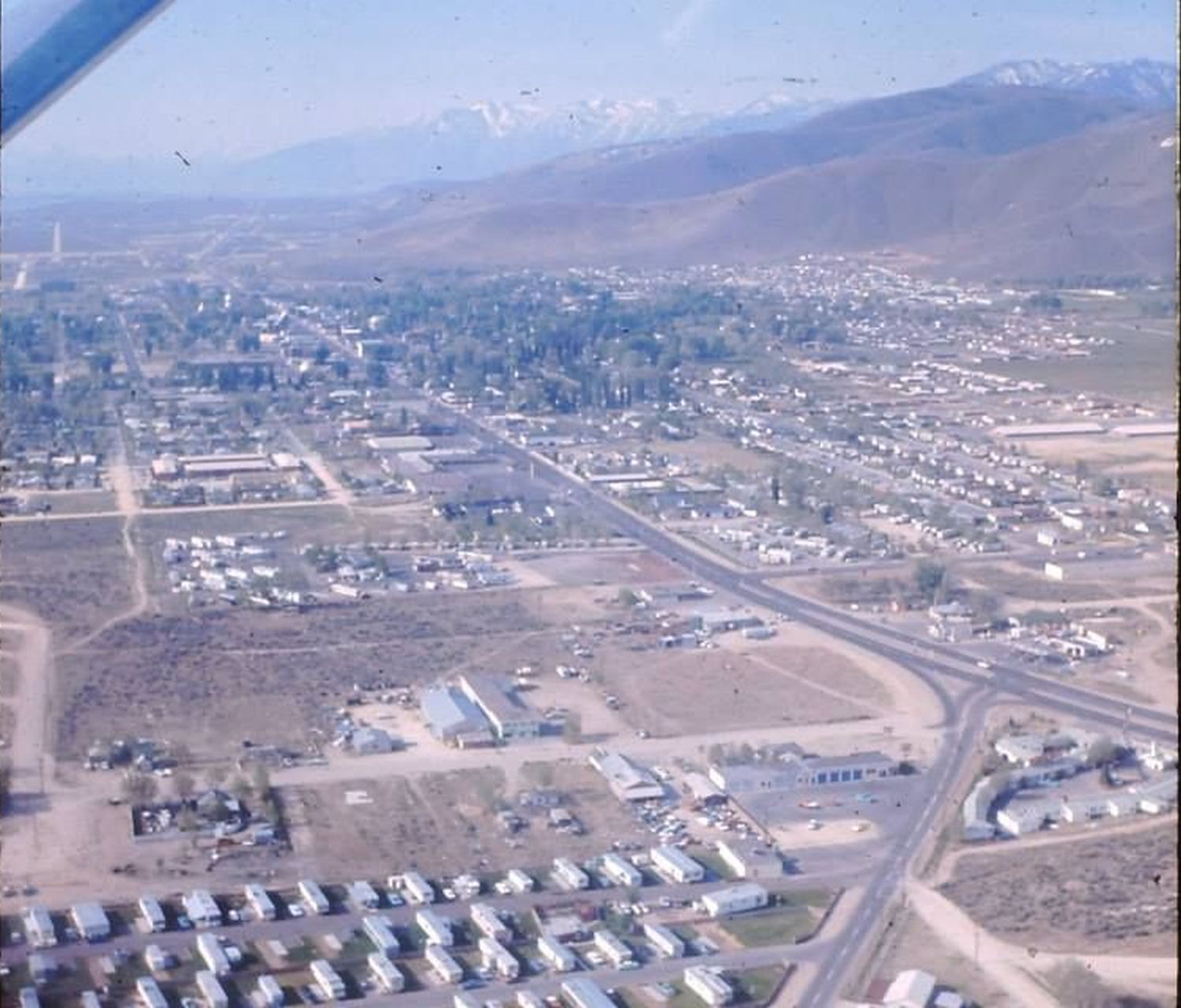
Carson City Aerial
Date of photo: 1965-66
Photographer: Unknown
Source: Facebook
Description
Carson City, looking south from Hot Springs Road. On the right-hand side is the intersection of Carson and Hot Springs. In the foreground is the Safari Mobile Home Village. Downtown Carson is in the middle distance. In the far distance you can see south Carson, still mostly undeveloped. The bright scar of Silver Sage Road does stand out, though, as does Highway 395.
Actions
⇓ Download This Photo
⇓ Embed This Photo
Other Data
Date Uploaded: June 8, 2013
Permanent Link: http://wnhpc.com/details/photo0363
Contributor: Rick Lee on Facebook
Source: Facebook
Source URL: https://www.facebook.com/photo.php?fbid=515119848554970&set=oa.515650461821494
Post A Comment