← Previous Photo
Hotel Mapes
Next Photo →
Hotel Mapes

Hotel Mapes Article

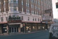
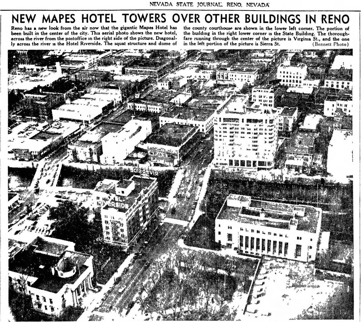
Date of photo: December 18, 1947
Photographer: Unknown

Source: Facebook: Reno's Mapes Hotel: The Queen of Virginia Street

Tags: aerial, article, downtownreno, hotelmapes, majestictheater, reno, renopostoffice, renoymca, riversidehotel, truckeeriver, virginiastreetbridge,

Available Sizes: 800x713 | 1024x913 | 1263x1127

Description

A newspaper clipping showing an aerial view of downtown Reno, focused on the Truckee River and the Mapes. Also seen is the Hotel Riverside, the downtown Reno Post Office, and many other downtown buildings.

Actions

⇓ Download This Photo

To download this photo, choose a size below, then right-click and select "Save As".

200x178 | 250x223 | 500x446 | 800x713 | 1024x913 | 1263x1127

⇓ Embed This Photo

To embed this photo in a blog or web page, choose a size below, then copy and paste the HTML or wiki code from the box.

200x178 | 250x223 | 500x446 | 800x713

HTML code

Wiki markup

Other Data

Date Uploaded: January 29, 2017

Permanent Link: http://wnhpc.com/details/fb583269168523839

Contributor: Reno's Mapes Hotel: The Queen of Virginia Street on Facebook

Source: Facebook: Reno's Mapes Hotel: The Queen of Virginia Street

Source URL: https://www.facebook.com/mapeshotel/photos/a.263818140468945.1073741828.263728233811269/583269168523839/?type=3

Source Caption: DECEMBER 18, 1947 - NEW MAPES HOTEL TOWERS OVER OTHER BUILDINGS IN RENO


Post A Comment