← Previous Photo
Hotel Mapes
Next Photo →
Hotel Mapes

Hotel Mapes

Date of photo: 1963
Photographer: Unknown

Source: Facebook: Old Reno

Tags: downtownreno, hotelmapes, majestictheater, reno, truckeeriver, virginiastreetbridge,

Available Sizes: 800x633 | 1024x811 | 1262x1000

Description

The Hotel Mapes towers over downtown Reno.

Actions

⇓ Download This Photo

To download this photo, choose a size below, then right-click and select "Save As".

200x158 | 250x198 | 500x396 | 800x633 | 1024x811 | 1262x1000

⇓ Embed This Photo

To embed this photo in a blog or web page, choose a size below, then copy and paste the HTML or wiki code from the box.

200x158 | 250x198 | 500x396 | 800x633

HTML code

Wiki markup

Other Data

Date Uploaded: January 29, 2017

Permanent Link: http://wnhpc.com/details/fb1610914729201297

Contributor: Old Reno on Facebook

Source: Facebook: Old Reno

Source URL: https://www.facebook.com/OldReno/photos/a.1546933245599446.1073741833.1531228030503301/1610914729201297/?type=3

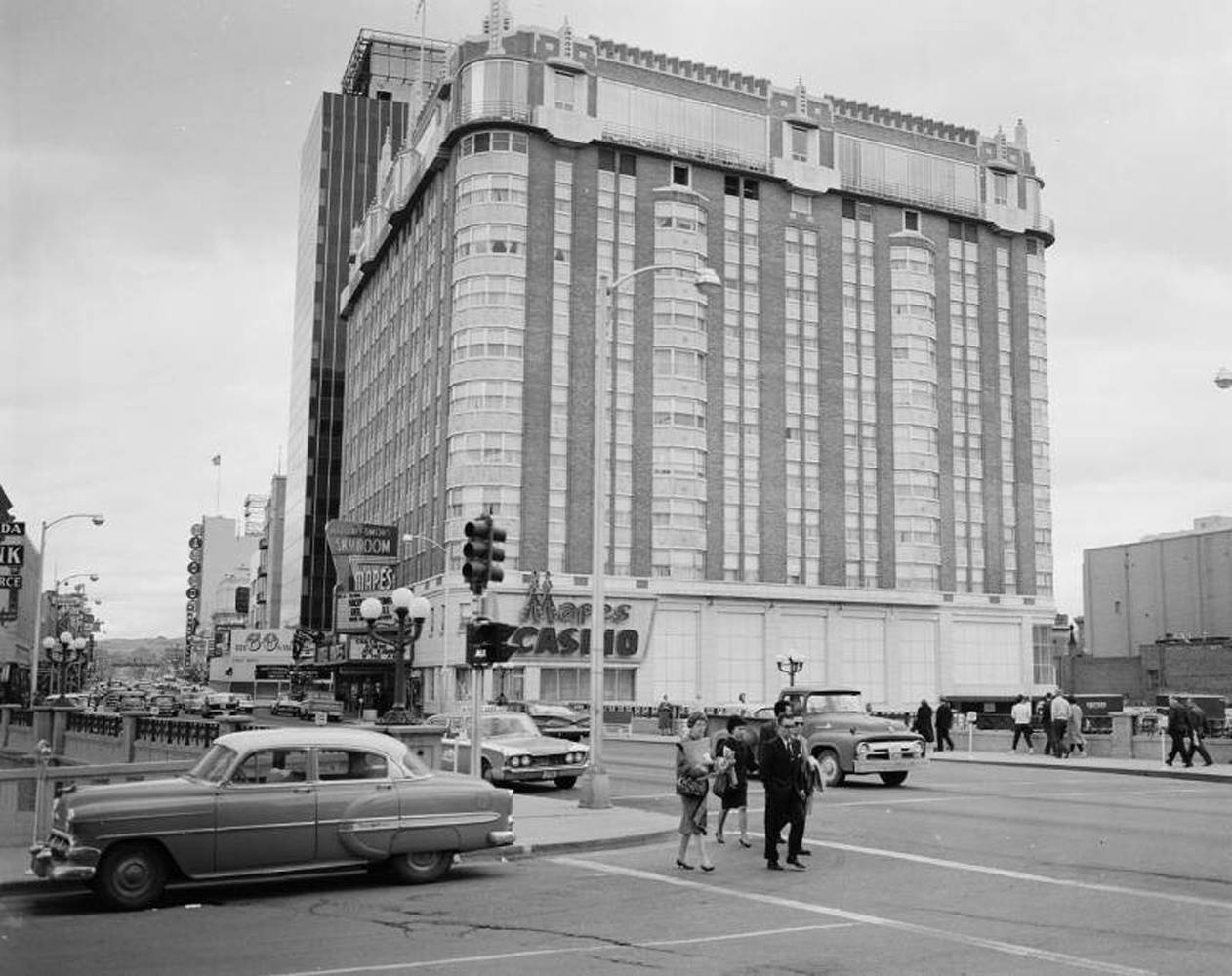
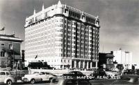
Source Caption: Along the east side of North Virginia Street around 1963 are the Mapes Hotel & Casino and the new First National Bank of Nevada office tower. In the background at left is the original Reno Arch, which will be replaced at the end of 1963 with the second Arch.


Post A Comment