
← Previous Photo | Next Photo → |
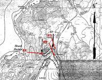
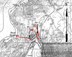
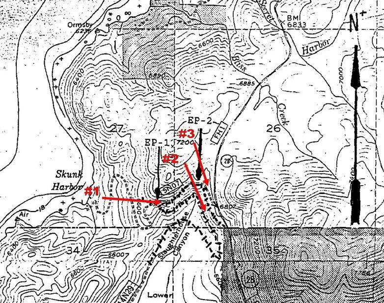
Slaughterhouse Canyon Map
Photographer: Unknown
Source: Facebook: Dana Scanlon

Description
A map of Slaughterhouse Canyon at Lake Tahoe. Included are the tracks of the Carson & Tahoe Lumber & Fluming Company Railroad.
Actions
⇓ Download This Photo
⇓ Embed This Photo
Other Data
Date Uploaded: January 2, 2017
Permanent Link: http://wnhpc.com/details/fb1323406891019911
Contributor: Dana Scanlon on Facebook
Source: Facebook: Dana Scanlon
Source URL: https://www.facebook.com/photo.php?fbid=1323406891019911&set=p.1323406891019911&type=3
Post A Comment