
← Previous Photo | Next Photo → |
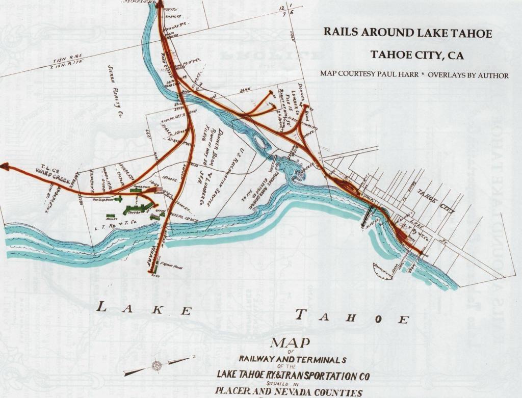
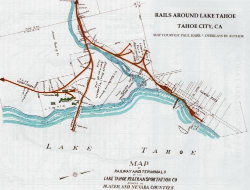
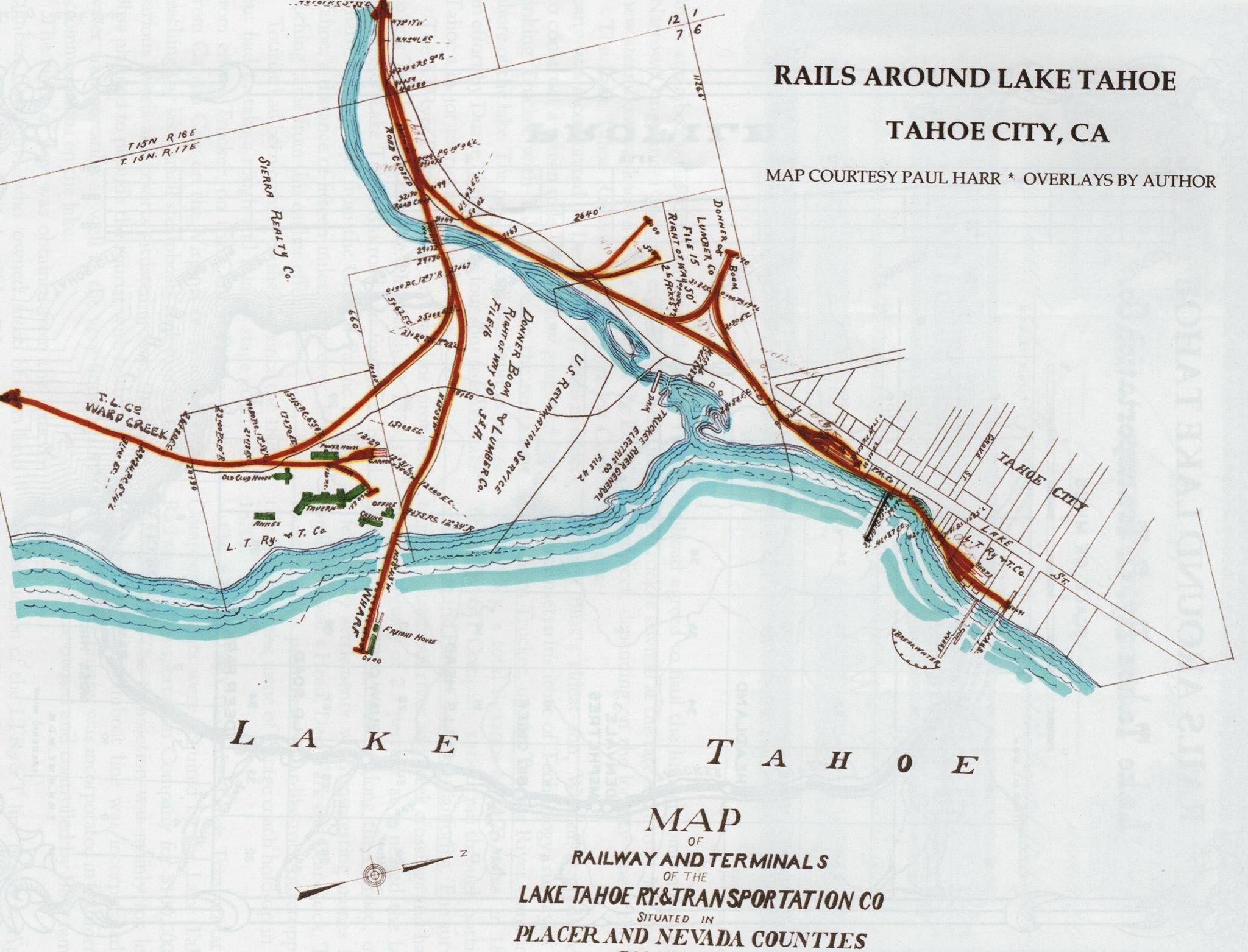
Tahoe City Railroad Map
Photographer: Unknown
Source: Facebook: Michael Mariant
Description
A map of the rail lines and major roads in Tahoe City, early 20th century.
Actions
⇓ Download This Photo
⇓ Embed This Photo
Other Data
Date Uploaded: January 2, 2017
Permanent Link: http://wnhpc.com/details/fb10208750810316125
Contributor: Michael Mariant on Facebook
Source: Facebook: Michael Mariant
Source URL: https://www.facebook.com/photo.php?fbid=10208750810316125&set=p.10208750810316125&type=3
Post A Comment